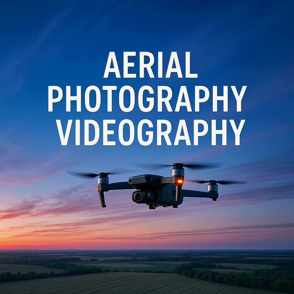
Photography & Videography
Cinematic aerial video and crisp stills for marketing, real estate, and documentation.
Cinematic aerial video and crisp stills for marketing, real estate, and documentation.
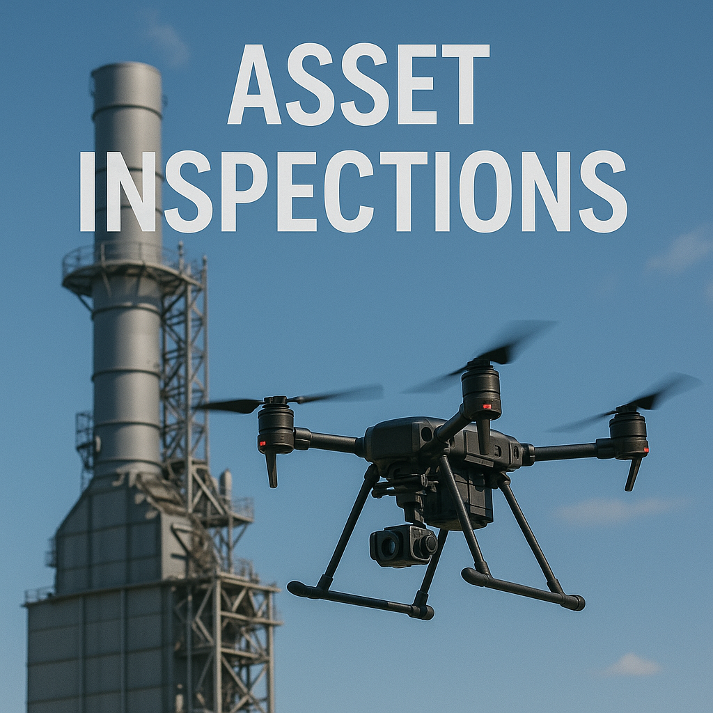
High-resolution RGB capture for roofs, utilities, and asset condition assessments.
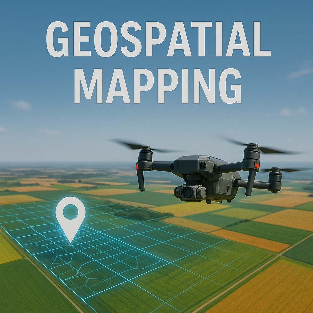
Orthomosaics, DSM/DEM, and 3D models with reliable, repeatable accuracy.
Locate heat anomalies in solar arrays, buildings, and mechanical systems.
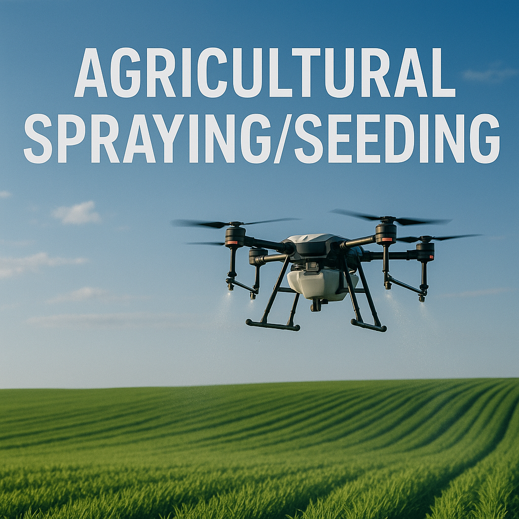
Multispectral crop insight and mission planning for smarter field decisions.
Legacy Enterprise Solutions, LLC is a Savannah-based UAS provider delivering high-quality aerial imaging and data products to agriculture, industrial, and commercial clients across the Southeastern U.S. FAA Part 107 certified and fully insured.